Step 1
Describe your illustrated map
Provide the details for the first image.
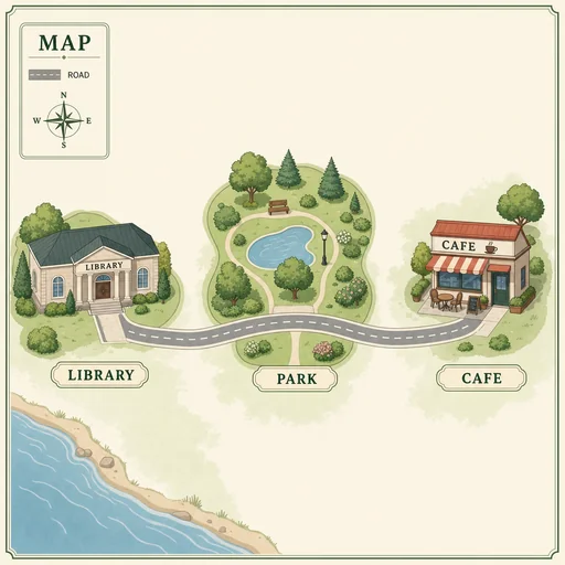
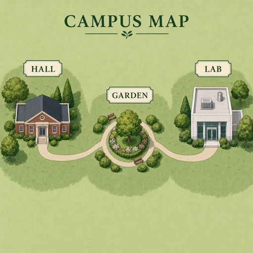
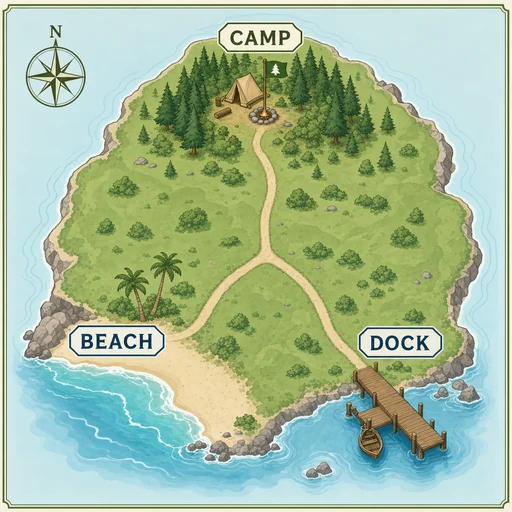
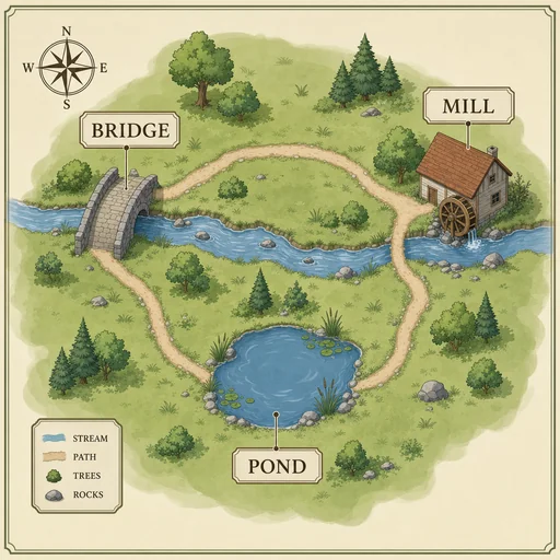
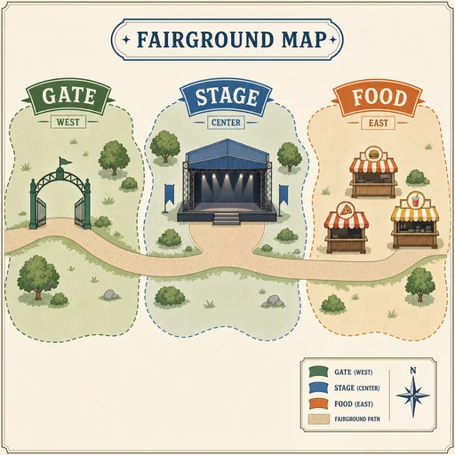
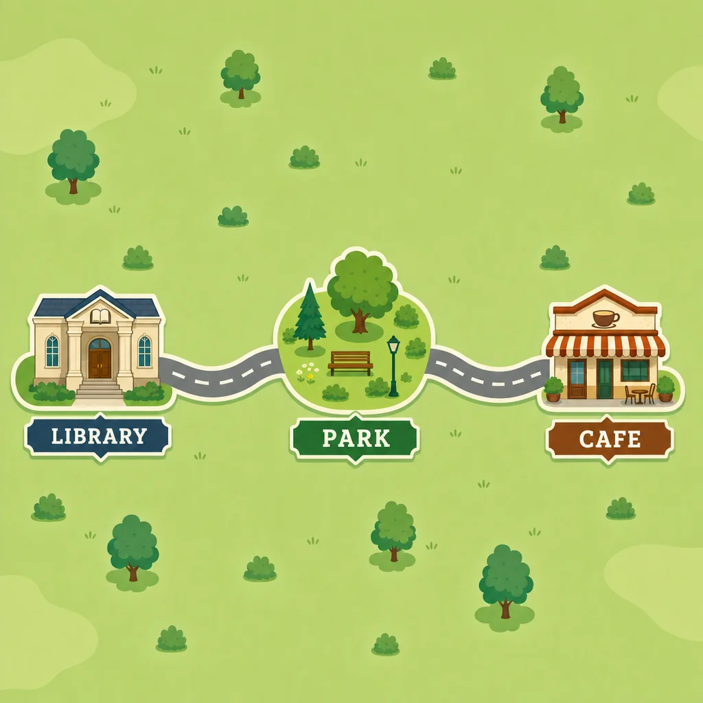
Describe your places and routes to shape an illustrated map with landmarks, labels, visual hierarchy, and a restrained palette.
Describe the places, routes, landmarks, and geography you want shown in the illustrated map.
Ask for clearer route emphasis, label placement, landmark prominence, and a restrained palette through follow-up descriptions.
Review whether the composition reflects your supplied geography, then refine unclear labels, routes, or landmarks.
Plan visually
Organize supplied locations, paths, and labels into one focused visual that helps people understand where everything belongs.
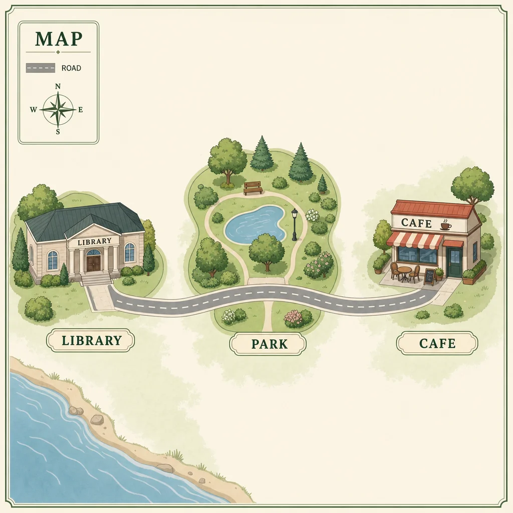
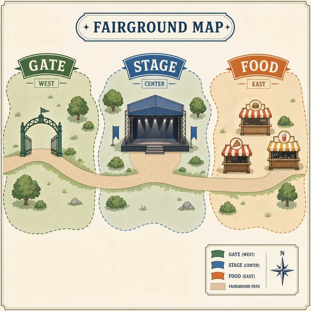
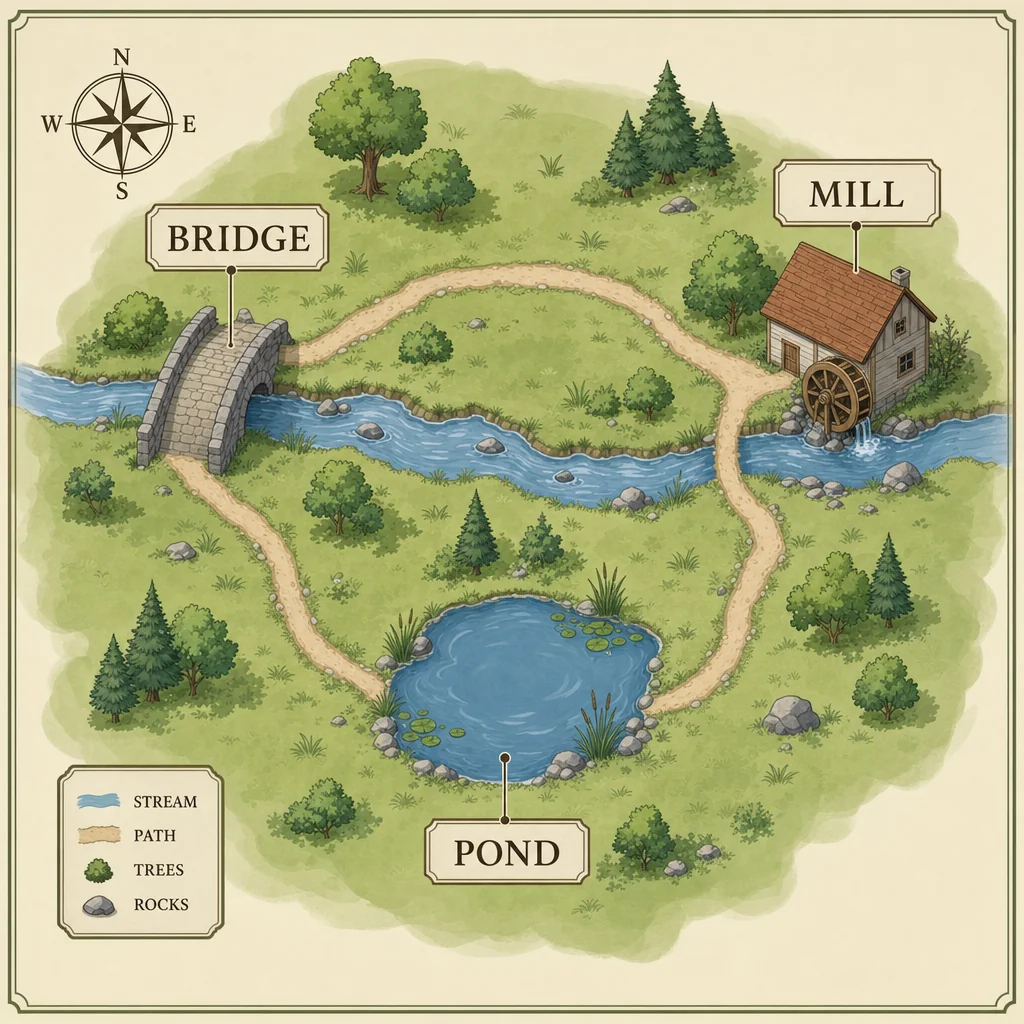
Create a first illustrated map, refine that same image, and review the final result.
Step 1
Provide the details for the first image.
Step 2
Use the actual first result with this follow-up.
Step 3
Compare the final image with your request.